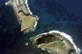
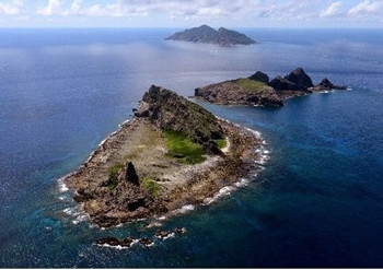
(三)中外地图标绘钓鱼岛属于中国
3. Chinese and foreign maps show that Diaoyu Dao belongs to China
1579年(明万历七年)明朝册封使萧崇业所著《使琉球录》中的“琉球过海图”、1629年(明崇祯二年)茅瑞徵撰写的《皇明象胥录》、1767年(清乾隆三十二年)绘制的《坤舆全图》、1863年(清同治二年)刊行的《皇朝中外一统舆图》等,都将钓鱼岛列入中国版图。
The Roadmap to Ryukyu (Liu Qiu Guo Hai Tu) in the Shi Liu Qiu Lu written by imperial title-conferring envoy Xiao Chongye in 1579 (the seventh year of the reign of Emperor Wanli of the Ming Dynasty), the Record of the Interpreters of August Ming (Huang Ming Xiang Xu Lu) written by Mao Ruizheng in 1629 (the second year of the reign of Emperor Chongzhen of the Ming Dynasty), the Great Universal Geographic Map (Kun Yu Quan Tu) created in 1767 (the 32nd year of the reign of Emperor Qianlong of the Qing Dynasty), and the Atlas of the Great Qing Dynasty (Huang Chao Zhong Wai Yi Tong Yu Tu) published in 1863 (the second year of the reign of Emperor Tongzhi of the Qing Dynasty) all marked Diaoyu Dao as China's territory.
日本最早记载钓鱼岛的文献为1785年林子平所著《三国通览图说》的附图“琉球三省并三十六岛之图”,该图将钓鱼岛列在琉球三十六岛之外,并与中国大陆绘成同色,意指钓鱼岛为中国领土的一部分。
The book Illustrated Outline of the Three Countries written by Hayashi Shihei in 1785 was the earliest Japanese literature to mention Diaoyu Dao. The Map of the Three Provinces and 36 Islands of Ryukyu in the book put Diaoyu Dao as being apart from the 36 islands of Ryukyu and colored it the same as the mainland of China, indicating that Diaoyu Dao was part of China's territory.
1809年法国地理学家皮耶·拉比等绘《东中国海沿岸各国图》,将钓鱼岛、黄尾屿、赤尾屿绘成与台湾岛相同的颜色。1811年英国出版的《最新中国地图》、1859年美国出版的《柯顿的中国》、1877年英国海军编制的《中国东海沿海自香港至辽东湾海图》等地图,都将钓鱼岛列入中国版图。
The Map of East China Sea Littoral States created by the French cartographer Pierre Lapie and others in 1809 colored Diaoyu Dao, Huangwei Yu, Chiwei Yu and the Taiwan Island as the same. Maps such as A New Map of China from the Latest Authorities published in Britain in 1811, Colton's China published in the United States in 1859, and A Map of China's East Coast: Hongkong to Gulf of Liao-Tung compiled by the British Navy in 1877 all marked Diaoyu Dao as part of China's territory.